调度管理系统
 软件工具&拓展
.png?width=1200&height=675&name=BB%20Support%20(1).png)
.png) 工程
工程
.png)

.png) 了解BLUEBOTICS
了解BLUEBOTICS
.png?width=1200&height=674&name=Bastian-Solutions_BlueBotics%20(1).png)


系统工程部门总监
语言:
英语, 法语, 德语, 意大利语


安装和修改

达到±1 cm / ±1°

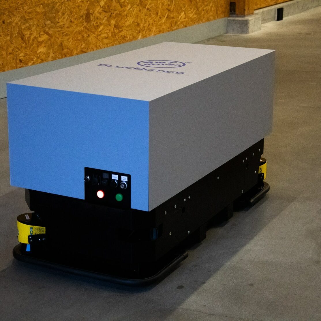
车队规模可达300辆,
且不限车辆类型
利用车辆激光扫描仪测量的点来识别并匹配环境中的结构。环境会定期重新扫描,行驶路径为虚拟路径。
也称为:SLAM导航、自由导航。

ANT自然特征导航(有时称为"自然导航"、"自主导航"或"SLAM导航")使用车辆现有的激光安全扫描仪,首先识别并匹配环境中的永久性特征,例如:墙壁、柱子和机器。

在站点周围手动驾驶您的 AGV。我们的 ANT lab软件(含带中)记录了来自车辆安全激光扫描仪的数据,用于生成 2D 地图。然后,通过移除任何动态对象来"清理"此地图,只留下永久要素,如墙壁和柱子。这些参考数据将用于计算车辆的位置,使其能够有效地导航。

对 AGV 所需的路线进行编程。然后,添加任务,如移动叉车的叉子、设置数字 I/O 或与车辆的 PLC 通信。路经和任务在 ANT lab中进行配置。
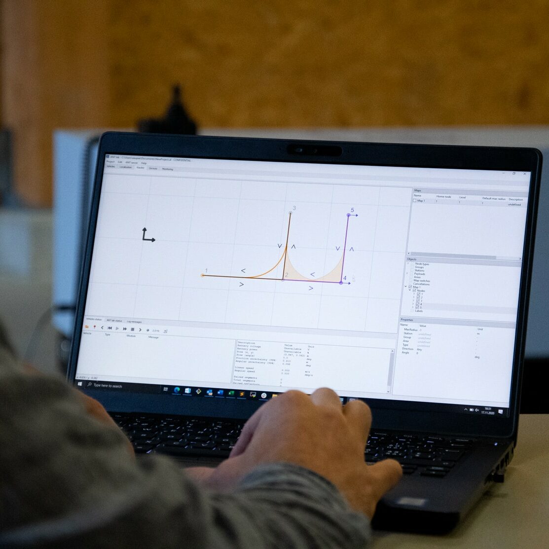
开始您的第一个任务!您的由 ANT® 驱动的车辆将使用安全扫描仪测得的数据与测程法相结合,按照预定义的路线和任务安全穿越工作环境。对于多辆 AGV,流量和车队管理很容易由我们的 ANT server软件(与 ANT lite+一起使用) 处理。


ANT lite+
ANT localization+
ANT localization
您对选择哪种导航技术有疑问吗?您想讨论一个特定的应用场景吗?或者,您是否想在屏幕上看到ANT的演示?点击以下链接与我们的专家团队联系。